 Sławomir Królewicz
Work address:
Institute of Physical Geography and Environmental
Planning,
Adam Mickiewicz University,
Dziegielowa 27, 61-680 Poznań, Poland
Phone: (+4861) 8296236
Fax: (+4861) 8296230
E-mail: skrol @ amu.edu.pl
EDUCATION
2002 - Faculty of Geography and Geology, Adam Mickiewicz University in Poznań, Poland
Ph.D. degree in Earth Sciences, Dissertation title: "Brightness changes of the sand surfaces on the aerial photographs"
1994 - Faculty of Geography and Geology, Adam Mickiewicz University in Poznań, Poland
Master of Science in Geography
PROFESSIONAL EXPERIENCE:
1993 to present
Current place of employment:
Department of Soil Science and Remote Sensing of Soils, Institute of
Physical Geography and Environmental Planning, Faculty of Geography and
Geology, Adam Mickiewicz University in Poznań, Poland. - 1993-1994 - technical position,
- 1994-2003 - assistant, PhD studies (1997-2005),
- 2003- present - assistan professor.
DIDACTICS:
Lectures on: Geographical Infromation
Systems, Earth from Space, Calibration and advanced remote sensing data
interpretation, Digital image processing of remote sensing data.
Classes on: remote sensing of enviroment, digital image
processing, digital photogrammetry, digital image processing of remote sensing data, remote sensing platforms and products evaluation,.
Field classes on: soil science, remote sensing.
Most activities are carried out with the support of elearning Moodle platform hosted by Adam Mickiewicz University
(http://elearning.amu.edu.pl/wngig).
PROFESSIONAL INTERESTS:
*Influence
of bidirectional reflectance phenomena and optical properties of the
camera's lens on remote images in optical domain and its interpretation, image formation and
transformation.
*Close-range photogrammetry with digital photography and laser scanning application in soil surface roughness computaion
*Radiometric calibration of remote sensed data (especially all Landsat sensors,
ASTER, HYPERION, QuickBird, IKONOS, World View II),
*Digital image processing of
remote sensed data,
*Spectral properties of soils, field and labolatory methods of spectral properties measurements,
*Digital
cartography and Geographical Information Systems, spatial references of
analog maps in digital format and accurancy estimation of spatial references
*Translation geospatial terms from English to Polish in connection with
localization of the user interface for TNTmips (from MicroImages, Inc),
TECHNICAL SKILLS
GIS/remote sensing/photogrammetric software: TNTmips (20 years of
experience), PCI Geomatica (with OrthoEngine), Photoscan Pro,
E-Cognition, ArcGIS, ENVI, IDRISI, QGIS, WASE, SPRING, ILWIS, GRASS,
TAS, OziExplorer; administration of Internet servers (Apache, PHP,
MySQL, e-learning Moodle system, ftp servers), creation of www pages
(HTML, SVG, PHP, Geomashups, Google API), graphical software:
Photoshop, XNview, COREL X3 Suite, Canon Proffesional Software,
statistical software; Statistica, Unscrambler, programming with SML
(TNTmips); computer desktop and workstation harware configuration;
network services configuration; spectral measurement with FieldSpec 3
Pro and goniometer, albedo measurements, geodetic measurement (Topcon
GTS series), GPS precision measurements (Topcon Hiper Pro), shape and
roughness measurements with Konica Minolta VIVID laser scanner;
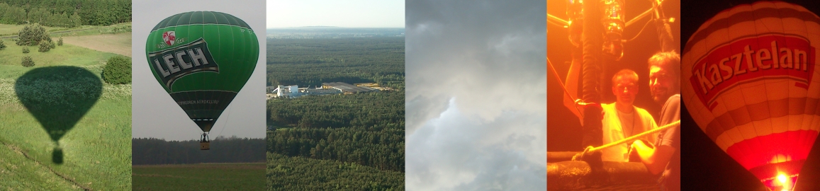
HOBBY
Four children can fill any free time,
but when they are far away I like flying with hot-air balloon or going for long
walks (with my wife of course). Good film is also good idea for free time....
 Publications
|